Data Trawler
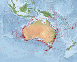
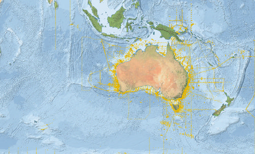
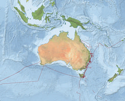
The Data Trawler is a portal to query and download public data from CSIRO voyages and projects. Data types include underway, multibeam, CTD, Hydrology, catch composition and specimens, gravity, wildlife observations and sub-bottom profile data. There are links to the Marlin metadata catalogue, deployments, reports, science publications and maps.
To obtain data, you will be required to enter an email address which can be done at anytime from a data download page. To access custodian data, please use the login form on the right.
![]() Subscribe to an RSS feed for notifications of new data.
Subscribe to an RSS feed for notifications of new data.
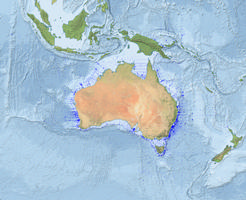
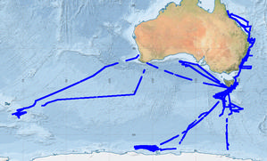
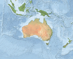
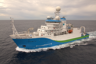 Latest voyage of the RV Investigator.
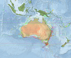
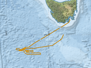
Voyage: IN2026_T03 [details]
26° 38.1' S 153° 42.5' E
21-Jul-2026 11:00 UTC.
(84 mins ago)
View track using the Near Real-time Underway Data (NRUD).
View the RV Investigator blog for voyage news.
- Overview
- Latest Data
- by Surveys
- by Spatial Region
- by Files, Deployments, Events, Sources, Projects & Specimen
- Tools
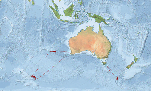
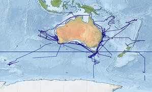
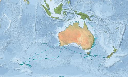
Need to find when or where the ship was?
 Use the Ship Location tool to query by time and/or position
from underway data collected since 1985.
Use the Ship Location tool to query by time and/or position
from underway data collected since 1985.
Find out how close the ship was to a particular point.
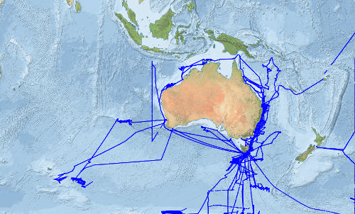
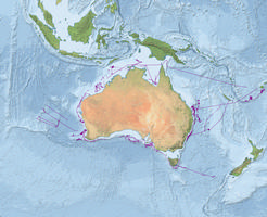
Waypoints
 Use the Waypoints tool to record a set of waypoints, which can then be exported in a variety of formats (rux, excel, kml, CARIS, SIS and GPX).