Figures marked "CSIRO", are copyright
CSIRO, but please feel free to use them, conditional on the figures
not being altered, and their source being acknowledged, and with
a link to this site where possible.
All other figures are copyright. Please
do not copy without the owner's permission.
|
|
About the project
Some of our current research topics are
Extending the Global Mean Sea Level (GMSL) time series back in time using tide-gauge data,
and forward to the present using both tide-gauge and satellite-altimeter data
- first successful attempt to estimate a GMSL time series as well as regional patterns of
sea level change for the second half of the 20th century published in 2004
(Church et al. 2004)
- assessment of the difference between, and variability of, coastal and global sea level
published in 2005 (White et al., 2005)
- the techniques used in Church et al. (2004) extended backwards in time to estimate GMSL
back to 1870. A significant acceleration in sea level rise in the first half of the 20th
century was also detected. Published in 2006 (Church and White, 2006)
Estimating ocean thermal expansion and ocean heat content changes over the last 50 years
using historical ocean temperature data
- Ongoing work, with other groups, both within CMAR and external groups (e.g. Peter Gleckler's
group at PCMDI/LLNL in the USA) producing better estimates of ocean heat content,
doing comparisons with model estimates, and also helping to tie down estimates of
climate sensitivity is in progress. Two or three papers should be submitted within the
next few months.
- Closing the sea level budget for the latter part of the 20th century.
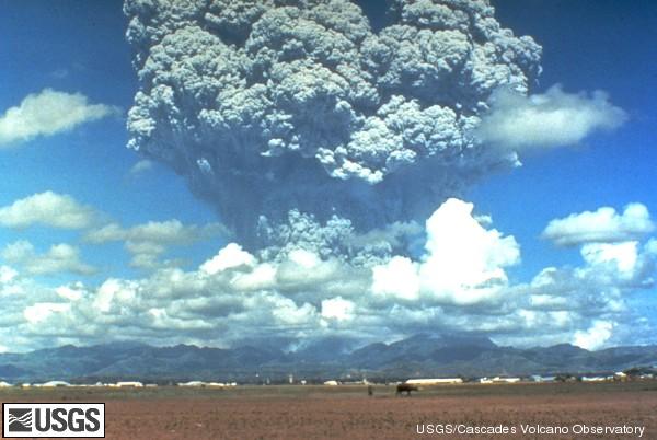
Understanding the variability in the historical sea level record, including the
effect of volcanic eruptions on sea level
- The first assessment of the effect of major volvanic eruptions on sea level and ocean
heat content published in 2005 (Church et al., 2005)
Satellite altimeter data processing and calibration
- We have been working with satellite altimeter data since the late 1980s (GEOSAT)
- We have been actively involved in development of processing techniques since early in the
TOPEX/Poseidon mission.
- We have run a satellite altimeter (TOPEX/Poseidon and Jason-1) calibration site at Burnie
on the north coast of Tasmania since before the TOPEX/Poseidon lanch in 1992. This site
has been progressively upgraded with a permanent co-located GPS receiver, as well
as calibration campaigns involving GPS buoy deployments and moored oceanographic
equipment (pressure gauges, current meters and Temperature/Salinity meters.
- We have been involved in the TOPEX/Poseidon Science Working Team (SWT) and its lineal
descendants (for Jason-1 and now Jason-2) since the late 1980s
Coastal vulnerability
[top]
|
|
Website owner: Benoit
Legresy | Last modified
29/04/15
CMAR Home |
CSIRO Oceans and Atmosphere |
ACE CRC
Legal
Notice and Disclaimer |
Copyright
|
|