Running News
June 2015 :
~~~~~~~~~~~~~~~~~~~~~~~~~~~~~~~~~~~~~~~~~~~~~~~~~~~~~~~~~~~~~~~~~~~~~~~~~~~~~~~~~~~~~
May 2015 :
~~~~~~~~~~~~~~~~~~~~~~~~~~~~~~~~~~~~~~~~~~~~~~~~~~~~~~~~~~~~~~~~~~~~~~~~~~~~~~~~~~~~~
April 2015 :
EUMETSAT, NOAA, CNES and NASA announce : JASON-3 satellite to be launched in 2015. It will ensure a continuity to the Reference Sea Level Missions Topex/Poseidon (1992-2002), JASON-1(2001-2009) and JASON-2 (2008-present). See : http://www.nesdis.noaa.gov/jason-3/
~~~~~~~~~~~~~~~~~~~~~~~~~~~~~~~~~~~~~~~~~~~~~~~~~~~~~~~~~~~~~~~~~~~~~~~~~~~~~~~~~~~~~
December 2014 :
2014, one of the hotest years on record , World Meteorological Organisation :
commented by CSIRO Oceans and Atmoshpere Flagship Science Director :
and also the State of the Climate 2014 :
~~~~~~~~~~~~~~~~~~~~~~~~~~~~~~~~~~~~~~~~~~~~~~~~~~~~~~~~~~~~~~~~~~~~~~~~~~~~~~~~~~~~~~~~~~~~~~~~~~~~~~~~~~~~~~~~~~~~~~~~~~~~~~~~~~~~~~~~~~~~~~~~~~~~~~~~~~~~~
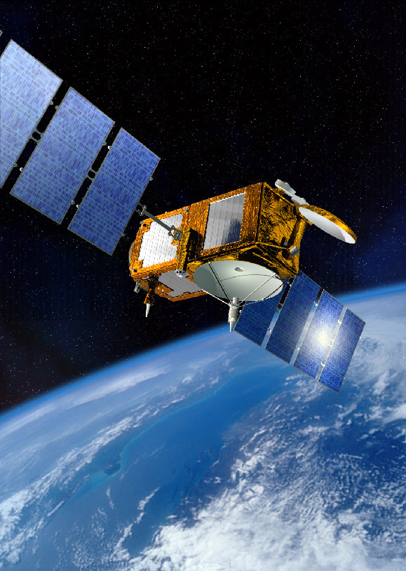 |
Jason-3 mission is planned for launch in 2015. This will be the follow-on to the
extremely successful TOPEX/Poseidon, Jason-1 and Jason-2 missions.
Launch is expected to be in July 2015.
|
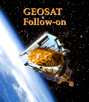 |
GFO mission comes to an end.
The GFO (GEOSAT Follow On) mission has now come to an end. On the 25th of
November, 2008 we were advised that an extra burn had been completed and that fuel was
fully depleted before completion of a maximum burn period. Altitude was reduced to below
that required to enable atmospheric re-entry within 25 years which is the de-orbit
requirement. Commands were sent to safe the satellite (deplete batteries, turn
off transmitters, etc.). GFO is now just a life-less mass in space.
It is expected that the US Navy will be launching a GFO follow on in the near future.
|
 |
Jason-2 (the follow-on mission to Jason-1) was successfully launched on the 20th of June, 2008.
Click here for more information about the Jason-2 mission (external link)
|
 |
[August 2007] The Tasmanian State Government
released an updated report on Tasmanian
Coastal Vulnerability, 2nd edition, (the "Sharples" report). |
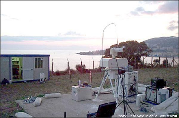 |
The French Transportable Laser Ranging System (FTLRS)
was deployed in Burnie from the 1st of December 2007 to the 18th
of April 2008. The data is currently being worked on. The picture shows the FTLRS
installed in Corsica (click image for larger view) |
 |
The World
Climate Research Programme held a workshop on Understanding sea level
Rise and Variability in Paris in 2006. See the conference statement for a brief summary. |
|

![]()


