Survey details and related metadata, reports, events and data.
SO 4/86 (alternative identifier: SO198604)
Period: 1986-07-08 00:00 to 1986-07-28 00:00 Local
Duration: 20.00 days
Region: Tasmania (W and E)
Ship: Soela [details]
Description: Soela cruise SO 4/86 was undertaken for exploratory and experimental fishing in eastern and western Tasmanian waters with particular reference to canyon, gullies, slopes, banks and seamounts and depths of 1300 - 1500 m, using a variety of fishing gears (part 1). To carry out ichthyoplankton sampling on the east coast of Tasmania and south east coast of NSW and to collect water samples for nutrient (part 2). Part 3 was a transit leg, Hobart-Fremantle.
Leader: F. Harden Jones & J. Gunn (CSIRO)
Project: Exploratory Fishing Project ("Soela" cruises) 1985-1987 [details]
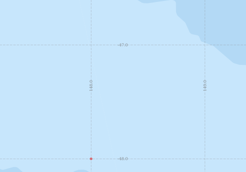
Voyage extents: 47° 45.0' S to 47° 00.0' S 147° 30.0' E to 149° 00.0' E
Marlin Metadata:-
Participants:- no records
Marine National Facility Reports - plans, summaries and data processing
- View the Survey plan - includes objectives, investigator details, proposed data collection, voyage track and equipment to be used.
- There is no map for this survey.
Search for publications, reports and datasets from this and other voyages
Data publishing - No datasets have been published
Deployments - None have been recorded in the Data Trawler.