Survey details and related metadata, reports, events and data.
SO 3/86 (alternative identifier: SO198603)
Period: 1986-05-07 00:00 to 1986-06-03 00:00 Local
Duration: 27.00 days
Region: Tasmanian waters (S and W)
Ship: Soela [details]
Description: Soela cruise SO 3/86 was undertaken for exploratory and experimental fishing in Tasmanian waters with particular reference to canyon, gullies, slopes, banks and seamounts lying to the west and south of the island, using a variety of fishing gears.
Leader: F. Harden Jones, S. Davenport (CSIRO)
Project: Exploratory Fishing Project ("Soela" cruises) 1985-1987 [details]
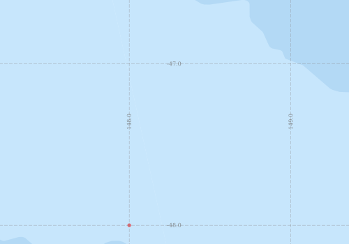
Voyage extents: 47° 45.0' S to 47° 00.0' S 147° 30.0' E to 149° 00.0' E
Marlin Metadata:-
Participants:- no records
Marine National Facility Reports - plans, summaries and data processing
- View the Survey plan - includes objectives, investigator details, proposed data collection, voyage track and equipment to be used.
- There is no map for this survey.
Search for publications, reports and datasets from this and other voyages
Data publishing - No datasets have been published
Deployments - None have been recorded in the Data Trawler.