Survey details and related metadata, reports, events and data.
SS2013_C01
Period: 2013-03-04 00:00 to 2013-03-05 00:00 UTC
Duration: 1.00 days
From: Hobart To: Hobart
Region: Derwent Estuary, south east Tasmania
Ship: Southern Surveyor [details]
Description: MNF RV Southern Surveyor - Research Charter ss2013_C01. RV Southern Surveyor 24 hour Research Charter - BOAGS deepwater testing Scientific Objectives: Testing of newly configured BOAGS sampler in working depths 1000 - 2700 m
Leader: A. Williams (CMAR), M. Sherlock (CMAR), A. Marouchos(CMAR)
Project: DEPRECATED: CMAR Research Charter - Great Australian Bight (GAB) [details]
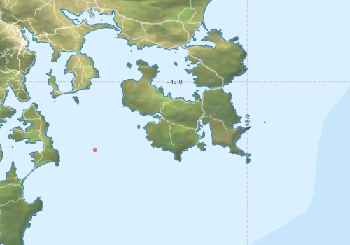
Voyage extents: 43° 24.0' S to 43° 00.0' S 147° 24.0' E to 148° 24.0' E
Marlin Metadata:-
Participants - on ship:-
| Name | Role | Organisation |
|---|---|---|
| Alan Williams | Chief Scientist | CSIRO Marine and Atmospheric Research |
| Bill Butler | Observer | P & O |
| Bruce Barker | Gear operations | CSIRO Marine and Atmospheric Research |
| Christian Blood | SE&T Mechanical Technician | CSIRO Marine and Atmospheric Research |
| Don McKenzie | MNF Voyage Manager | CSIRO Marine and Atmospheric Research |
| Emma Crooke | CESRE -Petroleum Res | CSIRO Oceans & Atmosphere - Hobart |
| Graham Nash | Multi-corer | Australian National University |
| Jeff Cordell | MNF Electronics support and Dep. Voyage Manager | CSIRO Marine and Atmospheric Research |
| Mark Green | Gear operations | CSIRO Marine and Atmospheric Research |
| Mark Lewis | Gear operations | CSIRO Marine and Atmospheric Research |
| Matt Sherlock | Electronic Engineer | CSIRO Marine and Atmospheric Research |
| Ron Hackney | Observer | Geoscience Australia |
| TBA TBA | MNF Computing support | CSIRO Marine and Atmospheric Research |
| Toni Moate | Observer | CSIRO Marine and Atmospheric Research |
| Xiubin Qi | CESRE -Petroleum Res | CSIRO Oceans & Atmosphere - Hobart |
This list includes those that may have only been on part of the voyage. See voyage reports on 'Reports and Maps' tab for details.
Marine National Facility Reports - plans, summaries and data processing
-
SS2013_C01 Voyage Summary
- includes preliminary results, voyage narrative, types of data collected with C77/ROSCOP codes.
-
SS2013_C01 Voyage Plan
- includes objectives, investigator details, proposed data collection, voyage track and equipment to be used.
- There is no map for this survey.
Publications, reports and datasets from this voyage.
Dataset
- Smith, S. R.,Lopez, N.,Bourassa, M. A. (2016) SAMOS air‐sea fluxes: 2005–2014. Geoscience Data Journal 3 pp9-19. 10.1002/gdj3.34
Search for publications, reports and datasets from this and other voyages
Data publishing
This is a list of online datasets hosted by CSIRO. Other processed datasets hosted by collaborating organisations may be found on the 'Metadata' or "Reports, Publications and Maps' tab.
Use the Get data link on the right to extract data using the NCMI Data Trawler.
| Data Stream | Data Summary | Get data | ||||||||||
|---|---|---|---|---|---|---|---|---|---|---|---|---|
| Multibeam echosounder |
|
Get Data from Trawler |
Deployments by start time:- Click on column header to sort. Use link on 'Deployment' to see full details. Use the CSV button at the bottom to export data (tab delimited).
Search for deployments from this voyage and others
| Deployment | Operation | Station | Cast | Gear | Project | Start and end times | Start Location | End Location | Depth range | Max Depth | Description | |||
|---|---|---|---|---|---|---|---|---|---|---|---|---|---|---|
| Multibeam echosounder [details] | EM300 Multibeam Echosounder | 2013-03-04 00:24 | 2013-03-04 11:59 | -43.2065 | 147.5398 | -43.3646 | 148.1898 | 3147.4 | ||||||