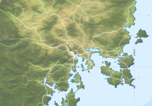
Survey details and related metadata, reports, events and data.
SS2010_E02
Period: 2010-08-27 00:00 to 2010-08-27 00:00 UTC
From: Hobart To: Hobart
Region: River Derwent
Ship: Southern Surveyor [details]
Description: Sea trial, Macquarie Wharf to Selfs Point to refuel and testing auto pilot before returning to CSIRO wharf. 27th August 2010.
Leader: D McKenzie MNF Operations Manager (CMAR)
Project: Southern Surveyor - general vessel operations, gear trials, etc. [details]

Voyage extents: 44° 00.0' S to 42° 00.0' S 147° 00.0' E to 147° 30.0' E
Marlin Metadata:-
Participants:- no records
Marine National Facility Reports - plans, summaries and data processing
- There is no map for this survey.
Publications, reports and datasets from this voyage.
Dataset
- Smith, S. R.,Lopez, N.,Bourassa, M. A. (2016) SAMOS air‐sea fluxes: 2005–2014. Geoscience Data Journal 3 pp9-19. 10.1002/gdj3.34
Search for publications, reports and datasets from this and other voyages
Data publishing
This is a list of online datasets hosted by CSIRO. Other processed datasets hosted by collaborating organisations may be found on the 'Metadata' or "Reports, Publications and Maps' tab.
Use the Get data link on the right to extract data using the NCMI Data Trawler.
| Data Stream | Data Summary | Get data | ||||||||||
|---|---|---|---|---|---|---|---|---|---|---|---|---|
| Multibeam echosounder |
|
Get Data from Trawler |
Deployments by start time:- Click on column header to sort. Use link on 'Deployment' to see full details. Use the CSV button at the bottom to export data (tab delimited).
Search for deployments from this voyage and others
| Deployment | Operation | Station | Cast | Gear | Project | Start and end times | Start Location | End Location | Depth range | Max Depth | Description | |||
|---|---|---|---|---|---|---|---|---|---|---|---|---|---|---|
| Multibeam echosounder [details] | EM300 Multibeam Echosounder | 2010-08-27 05:02 | 2010-08-27 05:47 | -42.8473 | 147.3331 | -42.8881 | 147.3454 | 56.4 | ||||||