Voyage details and related metadata, reports, events and data.
SS2009_E01
- is a Marine National Facility ![]() voyage
voyage
Period: 2009-10-08 00:00 to 2009-10-09 00:00 UTC
Duration: 1.00 days
From: Hobart To: Hobart
Region: SE of Tasman Island
Ship: Southern Surveyor [details]
Description: The vessel will sail on Thursday morning at 1100 and steam to a suitable site for the re-spooling - SE of Tasman Island - and is due back at 1100 Friday. If the weather conditions are suitable Tim Ryan and Mark Lewis will then take the ship to White Rock to carry out an acoustic calibration and they will be back at 1700.
Leader: Don McKenzie (CMAR)
Project: Southern Surveyor - general vessel operations, gear trials, etc. [details]
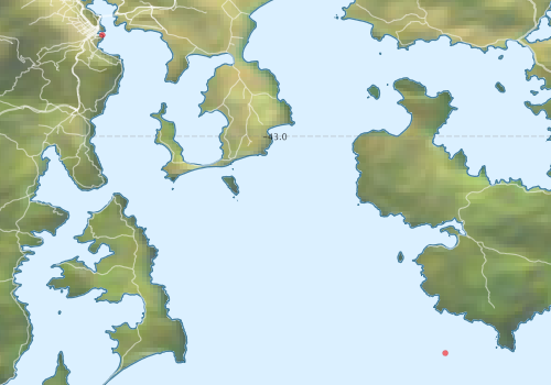
Voyage extents: 43° 24.0' S to 42° 00.0' S 147° 12.0' E to 148° 00.0' E
Marlin Metadata:-
Participants - on ship:-
| Name | Role | Organisation |
|---|---|---|
| no docs found | CSIRO Oceans & Atmosphere - Hobart |
This list includes those that may have only been on part of the voyage. See voyage reports on 'Reports and Maps' tab for details.
Marine National Facility Reports - plans, summaries and data processing
- There is no map for this survey.
Publications, reports and datasets from this voyage.
Dataset
- Smith, S. R.,Lopez, N.,Bourassa, M. A. (2016) SAMOS air‐sea fluxes: 2005–2014. Geoscience Data Journal 3 pp9-19. 10.1002/gdj3.34
Search for publications, reports and datasets from this and other voyages
Data publishing
This is a list of online datasets hosted by CSIRO. Other processed datasets hosted by collaborating organisations may be found on the 'Metadata' or "Reports, Publications and Maps' tab.
Use the Get data link on the right to extract data using the NCMI Data Trawler.
| Data Stream | Data Summary | Get data | ||||||||||||||
|---|---|---|---|---|---|---|---|---|---|---|---|---|---|---|---|---|
| ADCP Data |
|
Get Data from Trawler Download netCDF dataset ss2009_e01_adcp_nc.zip (authorisation required) Download processing report ss2009_e01_adcp_proc.pdf (authorisation required) |
||||||||||||||
| Multibeam echosounder |
|
Get Data from Trawler Download multibeam processing report ss2009_e01_multibeam_data.pdf |
Deployments by start time:- Click on column header to sort. Use link on 'Deployment' to see full details. Use the CSV button at the bottom to export data (tab delimited).
Search for deployments from this voyage and others
| Deployment | Operation | Station | Cast | Gear | Project | Start and end times | Start Location | End Location | Depth range | Max Depth | Description | |||
|---|---|---|---|---|---|---|---|---|---|---|---|---|---|---|
| Multibeam echosounder [details] | EM300 Multibeam Echosounder | 2009-10-07 23:49 | 2009-10-09 03:08 | -42.8863 | 147.3385 | -42.9716 | 147.3787 | 3567.6 | ||||||
| ADCP Data [details] | RDI Ocean Surveyor Acoustic Doppler current profiler | 1545 | 2009-10-08 03:26 | 2009-10-08 22:26 | -43.2431 | 147.7224 | -43.2261 | 147.6682 | 782 | |||||