Please login if you have access to particular applications.
Survey details and related metadata, reports, events and data.
SA 01/2009 (alternative identifier: SA200901)
Period: 2009-08-08 00:00 to 2009-08-14 00:00 Local
Duration: 6.00 days
From: Port Lincoln To: Port Lincoln
Ship: Sarda [details]
Description:
Leader: Bruce Barker
Project: Spatial closures in SESSF [details]
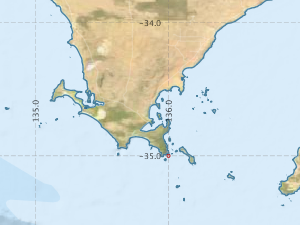
Map extents: 50° 00.0' S to 0° 00.0' N 95° 00.0' E to 180° 00.0' E
Metadata - No Marlin metadata records found or has not been linked to this survey or potentially the metadata catalogue is offline.
Participants:- no records
Marine National Facility Reports - plans, summaries and data processing
- There is no map for this survey.
Search for publications, reports and datasets from this and other voyages
Data publishing - No datasets have been published
Deployments - None have been recorded in the Data Trawler.