Survey details and related metadata, reports, events and data.
Bass Strait Moorings - UNSW (1991) (alternative identifier: M-BASS-UN91)
Period: 1991-01-06 00:00 to 1991-07-25 00:00 Local
Duration: 200.00 days
Mooring: Bass Strait Moorings - UNSW (1991) [details]
Description: As part of the 1991 University of NSW study "Low Frequency Circulation at the Western End of Bass Strait", five moorings were deployed across the western end of Bass Strait, including current meters and 3 tide gauges, between January and May 1991. The moorings were deployed during Franklin voyage FR 01/91 and recovered during voyage 04/91, although 2 moorings were not recovered on that occasion and others had lost or faulty instruments. One missing mooring was subsequently recovered in 1997 and found to contain data to July 1991.
Leader: J. (John) Middleton (University of NSW)
Project: Bass Strait LF Circulation Study (UNSW) 1991 [details]
Map extents: 50° 00.0' S to 0° 00.0' N 95° 00.0' E to 180° 00.0' E
Marlin Metadata:-
Participants:- no records
Marine National Facility Reports - plans, summaries and data processing
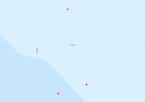
- There is no map for this survey.
Search for publications, reports and datasets from this and other voyages
Data publishing
This is a list of online datasets hosted by CSIRO. Other processed datasets hosted by collaborating organisations may be found on the 'Metadata' or "Reports, Publications and Maps' tab.
Use the Get data link on the right to extract data using the NCMI Data Trawler.
| Data Stream | Data Summary | Get data | ||||||||||||||
|---|---|---|---|---|---|---|---|---|---|---|---|---|---|---|---|---|
| Current Meter records from Moorings |
|
Get Data from Trawler |
Deployments by start time:- Click on column header to sort. Use link on 'Deployment' to see full details. Use the CSV button at the bottom to export data (tab delimited).
Search for deployments from this voyage and others
| Deployment | Operation | Station | Cast | Gear | Project | Start and end times | Start Location | End Location | Depth range | Max Depth | Description | |||
|---|---|---|---|---|---|---|---|---|---|---|---|---|---|---|
| Current Meter [details] | 1 | 43 | 1991-01-09 00:00 | 1991-05-15 00:00 | -41.1817 | 144.2283 | 0 | 332 | ||||||
| Current Meter [details] | 1 | 43 | 1991-01-09 00:00 | 1991-05-15 00:00 | -41.1817 | 144.2283 | 0 | 333 | ||||||
| Current Meter [details] | 1 | 43 | 1991-01-09 00:00 | 1991-02-16 00:00 | -41.2233 | 144.0983 | 0 | 335 | ||||||
| Current Meter [details] | 1 | 43 | 1991-01-09 00:00 | 1991-07-25 00:00 | -40.8367 | 144.1417 | 0 | 566 | ||||||
| Current Meter [details] | 2 | 43 | 1991-01-09 00:00 | 1991-02-16 00:00 | -41.2233 | 144.0983 | 0 | 336 | ||||||
| Current Meter [details] | 2 | 43 | 1991-01-09 00:00 | 1991-07-25 00:00 | -40.8367 | 144.1417 | 0 | 567 | ||||||
| Current Meter [details] | 2 | 43 | 1991-01-09 00:00 | 1991-05-15 00:00 | -41.1817 | 144.2283 | 0 | 334 | ||||||