Please login if you have access to particular applications.
Survey details and related metadata, reports, events and data.
LB 2/2003 (alternative identifier: LB200302)
Period: 2003-09-08 00:00 to 2003-11-22 00:00 Local
Duration: 75.00 days
Ship: Lady Basten [details]
Description: One of several voyages in support of the Great Barrier Reef Seabed Biodiversity Project
Project: Mapping bycatch & seabed benthos assemblages in the GBR region for environmental risk assessment and sustainable management of the Queensland East Coast Trawl Fishery [details]

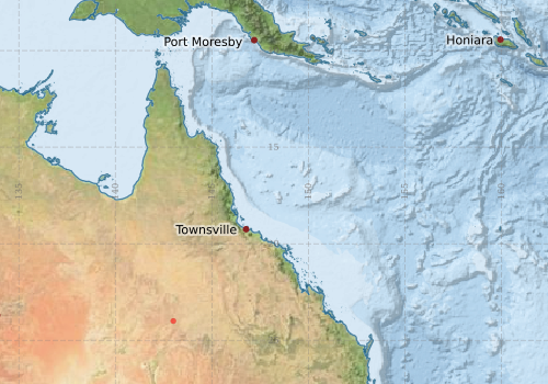
Voyage extents: 24° 30.0' S to 10° 42.0' S 142° 36.0' E to 153° 24.0' E
Marlin Metadata:-
Participants:- no records
Marine National Facility Reports - plans, summaries and data processing
- There is no map for this survey.
Search for publications, reports and datasets from this and other voyages
Data publishing - No datasets have been published
Deployments - None have been recorded in the Data Trawler.