Please login if you have access to particular applications.
Search for Geophysical Data...
Selection criteria
| Survey: | SS200508 [details] |
| Instrument: | RVSS EM300 multibeam echosounder |
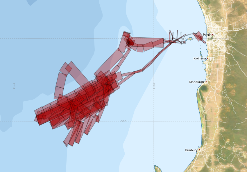
Found 195 lines matching the selection criteria..
Generating a map....
Caution: the extents of each line is only indicative of the expected extent of the data

Map extants:
33° 36.8' S to 31° 32.1' S 112° 47.9' E to 116° 19.9' E
Download a ![]() KML file of the data in the above map.
KML file of the data in the above map.
Note: New extracts will be limited to a maximum of 2 Gb.