Please login if you have access to particular applications.
Provider: All providers | |
Coastal Shelfs 0-200m | |
| Name: | 0-40 m New South Wales - view region report showing all data |
| Region: | Temperate east |
| Area: | not set |
| Gear type: | sediment grab and core samples
|
| Layers used: |
Seabed sediments sampling
CSIRO Sediment Sampling Sediment Data - Broken Bay to Abyssal Plain - link to layer metadata |
| Summary: | Records - 282 Deepest: db |
| Last updated: | 17-Mar-2024 22:52. |
| Buffer: | |
Time series plot (1930 to present) - Y axis is deployments per year
Region data
Show data list
| Year | Total inside region |
| 1970 | 31 |
| 1972 | 34 |
| 1975 | 2 |
| 1978 | 4 |
| 1980 | 1 |
| 1982 | 8 |
| 1990 | 2 |
| 1991 | 4 |
| 1992 | 1 |
| 2007 | 1 |
| 2008 | 75 |
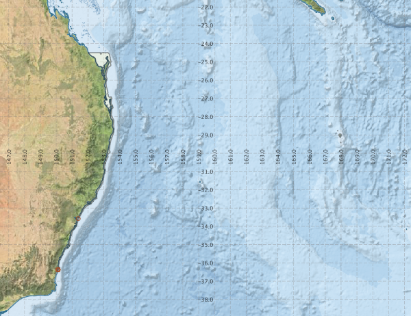
Region extents: 150° 03.2' E 36° 30.2' S to 168° 05.4' E 24° 29.9' S
Acknowledgements: Background map - Bright Earth e-Atlas Basemap v1.0 (AIMS, GBRMPA, JCU, DSITIA, GA, UCSD, NASA, OSM, ESRI) CC BY