Please login if you have access to particular applications.
Provider: All providers | |
Key Ecological Features | |
| Name: | Bonney Coast Upwelling - view region report showing all data |
| Region: | South-east |
| Area: | 15,274.62 km2 |
| Gear type: | eXpendable BathyThermograph
|
| Layers used: |
XBT Profile Data
- link to layer metadata |
| Summary: | Records - 598 Deepest: db |
| Last updated: | 27-Apr-2024 19:25. |
| Buffer: | |
Time series plot (1930 to present) - Y axis is deployments per year
Region data
Show data list
| Year | Total inside region |
| 1983 | 34 |
| 1985 | 3 |
| 1986 | 3 |
| 1987 | 2 |
| 1988 | 25 |
| 1989 | 36 |
| 1990 | 13 |
| 1991 | 37 |
| 1992 | 6 |
| 1993 | 68 |
| 1994 | 36 |
| 1995 | 35 |
| 1997 | 19 |
| 1999 | 1 |
| 2000 | 1 |
| 2001 | 2 |
| 2002 | 3 |
| 2003 | 3 |
| 2005 | 33 |
| 2006 | 2 |
| 2007 | 1 |
| 2008 | 120 |
| 2009 | 3 |
| 2010 | 35 |
| 2011 | 38 |
| 2012 | 5 |
| 2013 | 1 |
| 2014 | 33 |
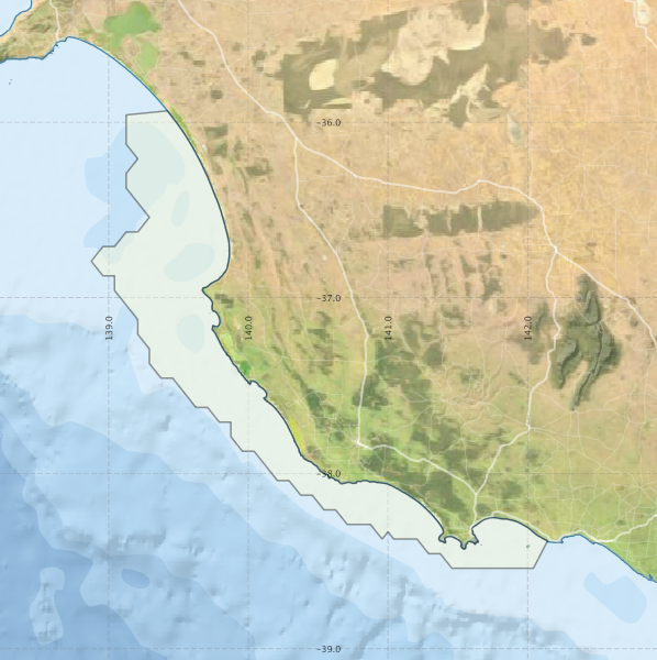
Region extents: 138° 52.5' E 38° 32.5' S to 142° 08.6' E 35° 55.8' S
Acknowledgements: Background map - Bright Earth e-Atlas Basemap v1.0 (AIMS, GBRMPA, JCU, DSITIA, GA, UCSD, NASA, OSM, ESRI) CC BY