Please login if you have access to particular applications.
Provider: All providers | |
Key Ecological Features | |
| Name: | Seamounts South and east of Tasmania - view region report showing all data |
| Region: | South-east |
| Area: | 13,155.03 km2 |
| Gear type: | Glider
|
| Layers used: |
Completed Realtime Glider Deployments
- link to layer metadata |
| Summary: | Records - 77 Deepest: db |
| Last updated: | 28-Apr-2024 06:10. |
| Buffer: | |
Time series plot (1930 to present) - Y axis is locations per year
Region data
Show data list
| Year | Total inside region |
| 2010 | 53 |
| 2011 | 24 |
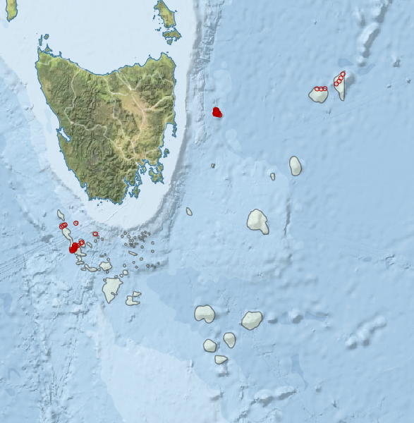
Region extents: 145° 12.1' E 46° 41.4' S to 152° 48.6' E 41° 04.8' S
Acknowledgements: Background map - Bright Earth e-Atlas Basemap v1.0 (AIMS, GBRMPA, JCU, DSITIA, GA, UCSD, NASA, OSM, ESRI) CC BY