Survey details and related metadata, reports, events and data.
SS 10/2003 (alternative identifier: SS200310)
Period: 2003-12-16 00:00 to 2003-12-19 00:00 UTC
Duration: 3.00 days
From: Fremantle To: Fremantle
Region: WA coast off Rottnest Island
Ship: Southern Surveyor [details]
Description: This voyage was to conduct sea acceptance trials on the new Swath Mapper installation. The voyage was conducted in waters off the Western Australian coast, west of Rottnest Island to about .The vessel master was Captain Les Morrow, CSIRO staff included Gordon Keith and Bob Beattie.
Leader: Cameron Buchanan (Geoscience Australia)
Project: National Facility External Users: C. Buchannan (Geoscience Australia) [details]
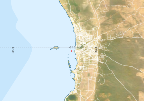
Voyage extents: 32° 48.0' S to 31° 48.0' S 115° 00.0' E to 115° 48.0' E
Marlin Metadata:-
Participants - on ship:-
| Name | Role | Organisation |
|---|---|---|
| Bob Beattie | CMAR | |
| Cameron Buchanan | Geoscience Australia | |
| Gordon Keith | CMAR |
This list includes those that may have only been on part of the voyage. See voyage reports on 'Reports and Maps' tab for details.
Marine National Facility Reports - plans, summaries and data processing
- There is no map for this survey.
Publications, reports and datasets from this voyage.
Journal Article
- Muhling, B.A.,Beckley, L.E.,Olivar, M.P. (2007) Ichthyoplankton assemblage structure in two meso-scale Leeuwin Current eddies, eastern Indian Ocean. Deep Sea Research Part II: Topical Studies in Oceanography 54 pp1113-1128. 10.1016/j.dsr2.2006.05.045
Search for publications, reports and datasets from this and other voyages
Data publishing
This is a list of online datasets hosted by CSIRO. Other processed datasets hosted by collaborating organisations may be found on the 'Metadata' or "Reports, Publications and Maps' tab.
Use the Get data link on the right to extract data using the NCMI Data Trawler.
| Data Stream | Data Summary | Get data | ||||||||||
|---|---|---|---|---|---|---|---|---|---|---|---|---|
| Multibeam echosounder |
|
Get Data from Trawler |
Deployments by start time:- Click on column header to sort. Use link on 'Deployment' to see full details. Use the CSV button at the bottom to export data (tab delimited).
Search for deployments from this voyage and others
| Deployment | Operation | Station | Cast | Gear | Project | Start and end times | Start Location | End Location | Depth range | Max Depth | Description | |||
|---|---|---|---|---|---|---|---|---|---|---|---|---|---|---|
| Multibeam echosounder [details] | EM300 Multibeam Echosounder | 2003-12-16 00:42 | 2003-12-18 18:19 | -32.0432 | 115.7057 | -31.9582 | 115.4327 | 2810.9 | ||||||