Survey details and related metadata, reports, events and data.
SS 03/91 (alternative identifier: SS199103)
Period: 1991-08-23 00:00 to 1991-09-10 00:00 UTC
Duration: 18.00 days
From: Fremantle To: Geraldton
Region: Tasmania-Fremantle (leg 1) then WA coast
Ship: Southern Surveyor [details]
Description: Southern Surveyor cruise SS 03/91. Leg 1 of the cruise was undertaken to get the underway salinity, temperature and fluorescence system going and to establish operating, calibration and maintenance procedures for these instruments; to measure surface salinity, temperature and fluorescence, and to collect surface nutrients across the sub-tropical convergence and to drop XBT's along a transect south of Tasmania to Cape Leeuwin. Leg 2 of the cruise, rock lobster larval sampling was conducted in the vicinity of the Abrolhos Islands and hydrographic sections across the Leeuwin Current.
Leader: D. McKenzie & B. Phillips (CSIRO)
Project: Rock Lobster Ecology Project 1985-1990 [details]
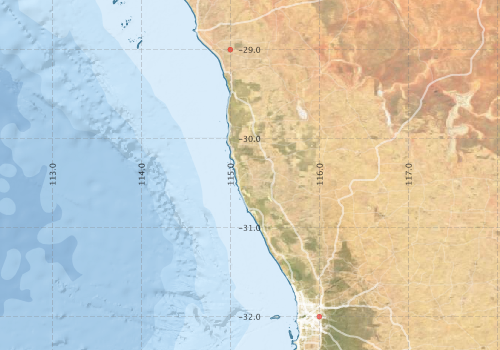
Voyage extents: 44° 00.0' S to 29° 00.0' S 114° 00.0' E to 148° 00.0' E
Marlin Metadata:-
Metadata from OBIS Australia datasets:- biological data is published via the OBIS-AU IPT server and delivered to one or more of OBIS, ALA and GBIF
Download from OBIS Australia IPT View at - Ocean Biodiversity Information System (OBIS) Atlas of Living Australia (ALA) GBIF
Participants - on ship:-
| Name | Role | Organisation |
|---|---|---|
| A Pearce | CSIRO Division of Fisheries | |
| B Phillips | CSIRO Division of Fisheries | |
| D Wright | CSIRO Division of Fisheries | |
| Don McKenzie | CSIRO Division of Fisheries | |
| J Garvey | CSIRO Division of Fisheries | |
| M Jessop-Jolly | volunteer | |
| Matt Sherlock | CSIRO Division of Fisheries | |
| P Jolly | CSIRO Division of Fisheries | |
| R Griffiths | CSIRO Division of Fisheries | |
| Simion Braine | CSIRO Division of Fisheries |
This list includes those that may have only been on part of the voyage. See voyage reports on 'Reports and Maps' tab for details.
Marine National Facility Reports - plans, summaries and data processing
-
SS199103 Voyage Summary
- includes preliminary results, voyage narrative, types of data collected with C77/ROSCOP codes.
-
SS199103 Voyage Plan
- includes objectives, investigator details, proposed data collection, voyage track and equipment to be used.
- There is no map for this survey.
Publications, reports and datasets from this voyage.
IPT Resource
- Australian National Fish Collection (ANFC) (Darwin Core Archive) External link to reference
Search for publications, reports and datasets from this and other voyages
Data publishing
This is a list of online datasets hosted by CSIRO. Other processed datasets hosted by collaborating organisations may be found on the 'Metadata' or "Reports, Publications and Maps' tab.
Use the Get data link on the right to extract data using the NCMI Data Trawler.
| Data Stream | Data Summary | Get data | ||||||||||||
|---|---|---|---|---|---|---|---|---|---|---|---|---|---|---|
| Marine biodiversity observations and/or samples |
|
Get Data from Trawler |
Deployments - None have been recorded in the Data Trawler.