Survey details and related metadata, reports, events and data.
SP 08/84 (alternative identifier: SP198408)
Period: 1984-10-01 00:00 to 1984-10-16 00:00 Local
Duration: 15.00 days
From: Hobart To: Melbourne
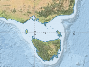
Region: Tasman Sea and Bass Strait
Ship: Sprightly [details]
Description: Oceanographic studies in Bass Strait and the East Australian Current region S and N of Sydney, in tandem with near real-time Sea surface temperature images received from the NOAA Advanced Very High Resolution Radiometer (AVHRR). Also, ground-truthing for the Synthetic Aperture Radar (SAR) on board the US shuttle "Challenger". Mapping was by thermosalinograph, surface sampling, XBTs, and GEK current measurements.2 satellite-tracked bouys were relased in the East Australian Current, 2 tide gauge moorings were laid in Bass Strait for VIMS, and 25+ neuston (plankton) tows were taken for the University of Sydney.
Leader: C. Nilsson (CSIRO)
Project: Ocean Remote Sensing Project 1981-1997 [details]
Map extents: 50° 00.0' S to 0° 00.0' N 95° 00.0' E to 180° 00.0' E
Metadata - No Marlin metadata records found or has not been linked to this survey or potentially the metadata catalogue is offline.
Participants:- no records
Marine National Facility Reports - plans, summaries and data processing
- View the Survey Summary report - includes preliminary results, voyage narrative, types of data collected with C77/ROSCOP codes.
- View Survey map
Search for publications, reports and datasets from this and other voyages
Data publishing - No datasets have been published
Deployments - None have been recorded in the Data Trawler.