Survey details and related metadata, reports, events and data.
SOL2018_V01
Period: 2018-01-08 00:00 to 2018-01-17 00:00 Local
Duration: 9.00 days
From: Exmouth To: Exmouth
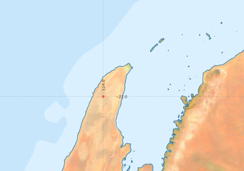
Region: Ningaloo
Ship: Solander [details]
Description: IOMRC trip 6285 was a collaboration field trip, between AIMS, CSIRO and UWA. The objective of the survey was to undertake habitat mapping following the 100-200m contours between 21.57¿ S to 22.59¿ S of the Ningalooo coastline using a combination of multibeam and deepwater tow video.
Project: none linked to this survey.
Map extents: 50° 00.0' S to 0° 00.0' N 95° 00.0' E to 180° 00.0' E
Metadata - No Marlin metadata records found or has not been linked to this survey or potentially the metadata catalogue is offline.
Participants:- no records
Marine National Facility Reports - plans, summaries and data processing
- There is no map for this survey.
Search for publications, reports and datasets from this and other voyages
Data publishing - No datasets have been published
Deployments - None have been recorded in the Data Trawler.