Survey details and related metadata, reports, events and data.
RS 1/66 (alternative identifier: RS196601)
Period: 1966-07-29 00:00 to 1966-08-02 00:00 Local
Duration: 4.00 days
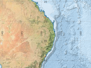
From: Sydney To: Port Alma
Region: east coast of Australia
Ship: Roslind Star [details]
Description:
Hydrology and bathythermograms undertaken.
Descriptive oceanography voyage - chemical, physical oceanography, and surface weather observation.
Leader: A.L. Brown
Project: none linked to this survey.
Map extents: 50° 00.0' S to 0° 00.0' N 95° 00.0' E to 180° 00.0' E
Metadata - No Marlin metadata records found or has not been linked to this survey or potentially the metadata catalogue is offline.
Participants:- no records
Marine National Facility Reports - plans, summaries and data processing
- View the Survey Summary report - includes preliminary results, voyage narrative, types of data collected with C77/ROSCOP codes.
- View Survey map
Search for publications, reports and datasets from this and other voyages
Data publishing - No datasets have been published
Deployments - None have been recorded in the Data Trawler.