Please login if you have access to particular applications.
Survey details and related metadata, reports, events and data.
LI2014_V05
Period: 2014-03-28 00:00 to 2014-03-28 00:00 Local
From: Hillarys Boat Harbour To: Hillarys Boat Harbour
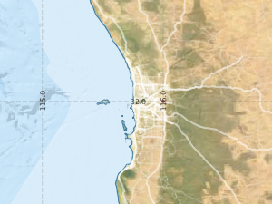
Region: Abrolhos Islands
Ship: Linnaeus (RV) [details]
Description: Automated underwater video survey
Project: Linnaeus Underway [details]
Map extents: 50° 00.0' S to 0° 00.0' N 95° 00.0' E to 180° 00.0' E
Metadata - No Marlin metadata records found or has not been linked to this survey or potentially the metadata catalogue is offline.
Participants:- no records
Marine National Facility Reports - plans, summaries and data processing
- There is no map for this survey.
Search for publications, reports and datasets from this and other voyages
Data publishing - No datasets have been published
Deployments - None have been recorded in the Data Trawler.