Survey details and related metadata, reports, events and data.
Degei 2/65 (alternative identifier: DEGEI196502)
Period: 1965-08-15 00:00 to 1965-08-28 00:00 Local
Duration: 13.00 days
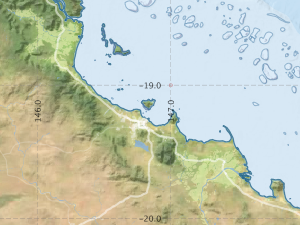
To: TownsvilleRegion: Queensland Coast
Ship: Degei [details]
Description: This survey included hydrological sampling in Queensland coastal waters during August 1965, associated with a survey for yellowfin tuna.
Leader: R. Bradley
Project: Yellowfin tuna survey, Queensland 1965 [details]
Map extents: 50° 00.0' S to 0° 00.0' N 95° 00.0' E to 180° 00.0' E
Metadata - No Marlin metadata records found or has not been linked to this survey or potentially the metadata catalogue is offline.
Participants:- no records
Marine National Facility Reports - plans, summaries and data processing
- View the Survey Summary report - includes preliminary results, voyage narrative, types of data collected with C77/ROSCOP codes.
- View Survey map
Search for publications, reports and datasets from this and other voyages
Data publishing - No datasets have been published
Deployments - None have been recorded in the Data Trawler.