Please login if you have access to particular applications.
All Marine National Facility (MNF) Voyages
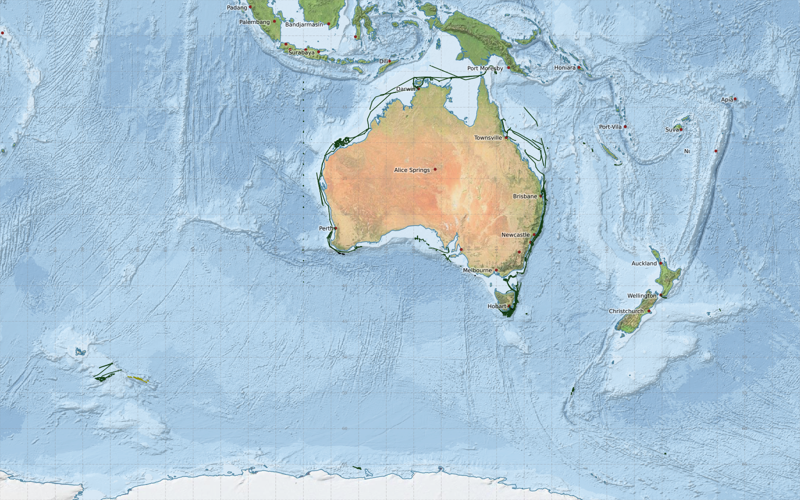
This map shows approximate extents of EM710 40-100kHz Multibeam echosounder data collected from Marine National Facility voyages since 2003.
Green represents level 3 (enhanced processed data), redis level 2 (processed data) orange is level 1 (processing in progress) and yellow is level 0 (raw data)
Acknowledgements: - Bright Earth e-Atlas Basemap v1.0 (AIMS, GBRMPA, JCU, DSITIA, GA, UCSD, NASA, OSM, ESRI) CC BY