Please login if you have access to particular applications.
All Marine National Facility (MNF) Voyages
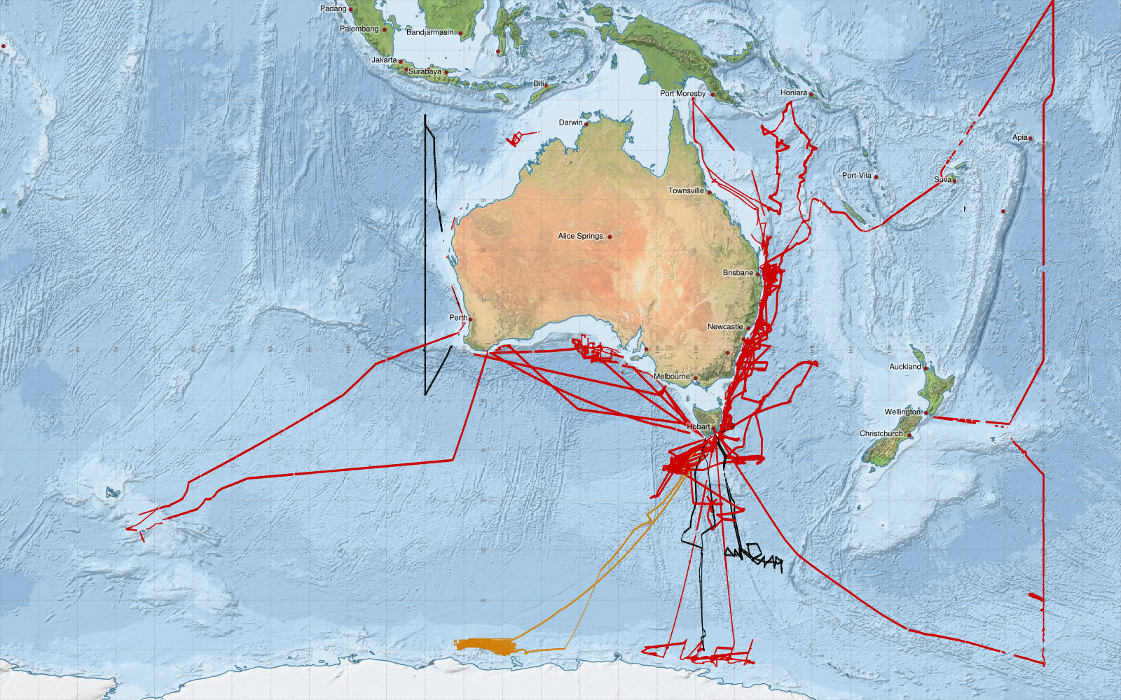
This map shows approximate extents of EM122 12kHz Multibeam echosounder data collected from Marine National Facility voyages since 2003.
green (level 3), red (level2) is processed data, orange is '1- in progress' and yellow is '0 - raw data'
Acknowledgements: - Bright Earth e-Atlas Basemap v1.0 (AIMS, GBRMPA, JCU, DSITIA, GA, UCSD, NASA, OSM, ESRI) CC BY