Please login if you have access to particular applications.
All Marine National Facility (MNF) Voyages
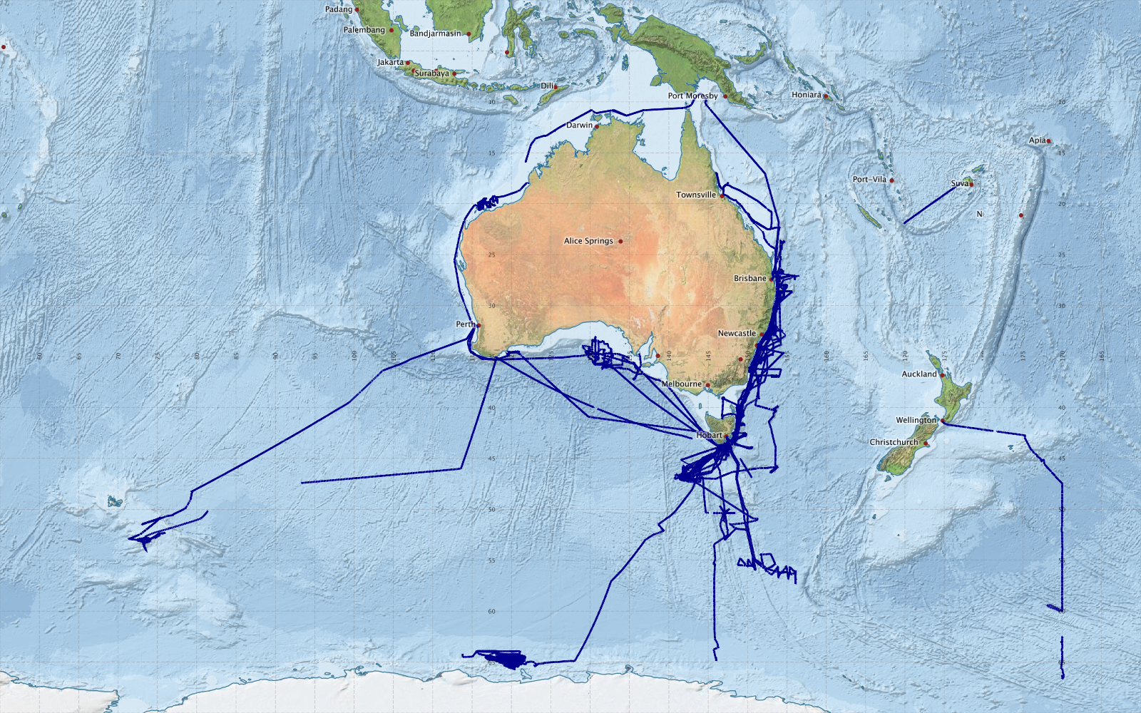
This map shows approximate extents of EK60_MULTIBAND 12-333kHz Singlebeam echosounder data collected from Marine National Facility voyages since 2003.
EK60 12-333 kHz data is in darkblue
Acknowledgements: - Bright Earth e-Atlas Basemap v1.0 (AIMS, GBRMPA, JCU, DSITIA, GA, UCSD, NASA, OSM, ESRI) CC BY