Geophysical Survey and Mapping - Extract data

Please login if you have access to particular applications.
Username:
Password:

Search for Geophysical Data...

Selection criteria

Found 503 lines matching the selection criteria..

Generating a map....

Caution: the extents of each line is only indicative of the expected extent of the data
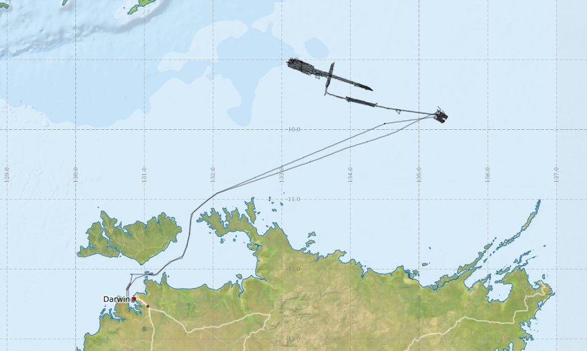

Map extants: 13° 10.3' S to 8° 08.7' S    128° 53.9' E to 137° 26.6' E

Download a KML file of the data in the above map.

Note: New extracts will be limited to a maximum of 2 Gb.

Select data from this survey.

Survey Data SummarySelect the Data files
SS200505 [details:]
Ship: Southern Surveyor [details]
Chief Scientist: Dr G. Logan (GA)
2005-04-30 01:00 to 2005-05-27 21:30 UTC
Darwin to Darwin

Survey Metadata:
Southern Surveyor Voyage SS 05/2005 Multibeam Echosounder Data

Instrument: EM300
Line Count: 503
Track length (km): 0.00
Total Time (hrs): 446.86
Depth range: 6.3 to 661.4
Processing status: Partially processed
- Raw files (503 lines - 18,836.67 Mb)
- Include metadata

An email address is required to forward the download

NCMI Information and Data Centre  »  Applications  »  Geophysical Survey and Mapping