Please login if you have access to particular applications.
Provider: All providers | |
Coastal Shelfs 0-200m | |
| Name: | 0-40 m North-West shelf - view region report showing all data |
| Region: | North-west |
| Area: | not set |
| Gear type: | CTD sensor
|
| Layers used: |
RAN CTD data
AIMS CTD data AIMS CTD cast summary CMAR CTD Data Overview (1982 - present) - link to layer metadata CMAR Towed CTD - link to layer metadata Glider deployments - link to layer metadata |
| Summary: | Records - 779 Deepest: db |
| Last updated: | 25-Mar-2024 00:10. |
| Buffer: | |
Time series plot (1930 to present) - Y axis is deployments as vertical profile or tows per year
Region data
Show data list
| Year | Total inside region |
| 1987 | 9 |
| 1993 | 16 |
| 1993 | 17 |
| 1994 | 10 |
| 1994 | 18 |
| 1995 | 16 |
| 1995 | 19 |
| 1996 | 11 |
| 1997 | 18 |
| 1997 | 35 |
| 1998 | 41 |
| 1998 | 104 |
| 1999 | 14 |
| 1999 | 21 |
| 1999 | 45 |
| 2000 | 25 |
| 2002 | 7 |
| 2002 | 11 |
| 2003 | 1 |
| 2003 | 6 |
| 2003 | 18 |
| 2005 | 36 |
| 2007 | 3 |
| 2008 | 5 |
| 2010 | 11 |
| 2011 | 69 |
| 2011 | 70 |
| 2012 | 3 |
| 2013 | 2 |
| 2013 | 78 |
| 2014 | 52 |
| 2014 | 307 |
| 2015 | 13 |
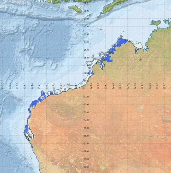
Region extents: 112° 54.5' E 27° 42.6' S to 129° 01.8' E 12° 18.7' S
Acknowledgements: Background map - Bright Earth e-Atlas Basemap v1.0 (AIMS, GBRMPA, JCU, DSITIA, GA, UCSD, NASA, OSM, ESRI) CC BY