Please login if you have access to particular applications.
Provider: All providers | |
Coastal Shelfs 0-200m | |
| Name: | 40-200 m North-West shelf - view region report showing all data |
| Region: | North-west |
| Area: | not set |
| Gear type: | ocean based acoustic current meter
|
| Layers used: |
CSIRO NCMI Acoustic Doppler Current Profiler data
- link to layer metadata NOAA drifting buoys (map) |
| Summary: | Records - 16522 Deepest: db |
| Last updated: | 24-Mar-2024 04:13. |
| Buffer: | |
Time series plot (1930 to present) - Y axis is ensembles per day per year
Region data
Show data list
| Year | Total inside region |
| 1987 | 156 |
| 1988 | 34 |
| 1993 | 12 |
| 1994 | 44 |
| 1995 | 1528 |
| 1996 | 1367 |
| 1997 | 5 |
| 1999 | 541 |
| 2000 | 31 |
| 2000 | 925 |
| 2002 | 5 |
| 2003 | 30 |
| 2003 | 479 |
| 2004 | 4 |
| 2005 | 27 |
| 2005 | 1144 |
| 2006 | 33 |
| 2006 | 1918 |
| 2007 | 57 |
| 2007 | 962 |
| 2008 | 189 |
| 2009 | 49 |
| 2010 | 41 |
| 2010 | 3036 |
| 2011 | 27 |
| 2011 | 3615 |
| 2012 | 453 |
| 2012 | 546 |
| 2013 | 364 |
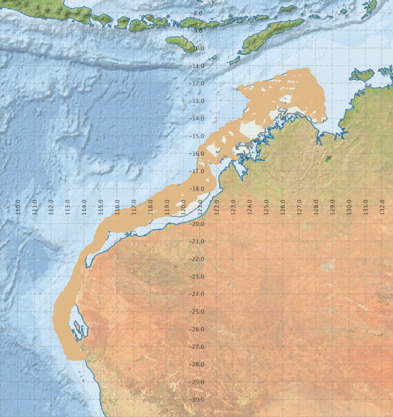
Region extents: 112° 13.7' E 27° 42.6' S to 128° 42.9' E 11° 13.4' S
Acknowledgements: Background map - Bright Earth e-Atlas Basemap v1.0 (AIMS, GBRMPA, JCU, DSITIA, GA, UCSD, NASA, OSM, ESRI) CC BY