Please login if you have access to particular applications.
Provider: All providers | |
Great Barrier Reef Marine Park | |
| Name: | MPZ30 - Cairns / Cooktown - view region report showing all data |
| Region: | |
| Area: | not set |
| Gear type: | sediment grab and core samples
|
| Layers used: |
Seabed sediments sampling
sediment surface MNF Sediment Sampling sites - all voyages |
| Summary: | Records - 431 Deepest: db |
| Last updated: | 28-Apr-2024 09:17. |
| Buffer: | |
Time series plot (1930 to present) - Y axis is deployments per year
Region data
Show data list
| Year | Total inside region |
| 1990 | 1 |
| 1994 | 65 |
| 1994 | 67 |
| 1995 | 94 |
| 1996 | 3 |
| 1997 | 10 |
| 1998 | 58 |
| 1998 | 64 |
| 1999 | 3 |
| 2003 | 107 |
| 2004 | 13 |
| 2005 | 16 |
| 2011 | 13 |
| 2012 | 10 |
| 2013 | 12 |
| 2014 | 9 |
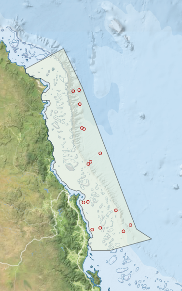
Region extents: 144° 56.5' E 17° 52.9' S to 147° 17.0' E 14° 18.3' S
Acknowledgements: Background map - Bright Earth e-Atlas Basemap v1.0 (AIMS, GBRMPA, JCU, DSITIA, GA, UCSD, NASA, OSM, ESRI) CC BY