Please login if you have access to particular applications.
Provider: All providers | |
Great Barrier Reef Marine Park | |
| Name: | MPZ30 - Cairns / Cooktown - view region report showing all data |
| Region: | |
| Area: | not set |
| Gear type: | ocean based acoustic current meter
|
| Layers used: |
CSIRO NCMI Acoustic Doppler Current Profiler data
- link to layer metadata NOAA drifting buoys (map) |
| Summary: | Records - 4000 Deepest: db |
| Last updated: | 28-Apr-2024 09:17. |
| Buffer: | |
Time series plot (1930 to present) - Y axis is ensembles per day per year
Region data
Show data list
| Year | Total inside region |
| 1988 | 18 |
| 1990 | 18 |
| 1990 | 61 |
| 1991 | 11 |
| 1991 | 29 |
| 1992 | 3 |
| 1993 | 24 |
| 1995 | 2 |
| 1996 | 5 |
| 1997 | 4 |
| 1997 | 70 |
| 1999 | 41 |
| 2000 | 18 |
| 2000 | 22 |
| 2002 | 12 |
| 2003 | 3 |
| 2004 | 3 |
| 2005 | 15 |
| 2006 | 30 |
| 2007 | 39 |
| 2007 | 1584 |
| 2008 | 22 |
| 2008 | 1531 |
| 2009 | 3 |
| 2010 | 41 |
| 2011 | 26 |
| 2012 | 345 |
| 2013 | 263 |
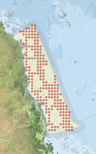
Region extents: 144° 56.5' E 17° 52.9' S to 147° 17.0' E 14° 18.3' S
Acknowledgements: Background map - Bright Earth e-Atlas Basemap v1.0 (AIMS, GBRMPA, JCU, DSITIA, GA, UCSD, NASA, OSM, ESRI) CC BY