Please login if you have access to particular applications.
Provider: All providers | |
Key Ecological Features | |
| Name: | Plateaux and saddle north-west of the Wellesley Islands - view region report showing all data |
| Region: | North |
| Area: | 5,064.75 km2 |
| Gear type: | sediment grab and core samples
|
| Layers used: |
CSIRO Sediment Sampling
MNF Sediment Sampling sites - all voyages Seabed sediments sampling |
| Summary: | Records - 55 Deepest: db |
| Last updated: | 24-Mar-2024 06:37. |
| Buffer: | |
Time series plot (1930 to present) - Y axis is deployments per year
Region data
Show data list
| Year | Total inside region |
| 1989 | 3 |
| 1990 | 2 |
| 2005 | 12 |
| 2005 | 28 |
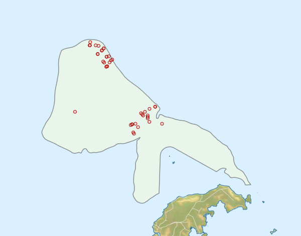
Region extents: 138° 29.9' E 16° 30.0' S to 139° 44.0' E 15° 34.1' S
Acknowledgements: Background map - Bright Earth e-Atlas Basemap v1.0 (AIMS, GBRMPA, JCU, DSITIA, GA, UCSD, NASA, OSM, ESRI) CC BY