Please login if you have access to particular applications.
Provider: All providers | |
Key Ecological Features | |
| Name: | Carbonate bank and terrace system of the Sahul Shelf - view region report showing all data |
| Region: | North-west |
| Area: | 41,157.51 km2 |
| Gear type: | sediment grab and core samples
|
| Layers used: |
Seabed sediments sampling
Marine Coastal Oceanic Shoals Samples - major trace elements Core data - Indian Ocean |
| Summary: | Records - 83 Deepest: db |
| Last updated: | 28-Apr-2024 01:21. |
| Buffer: | |
Time series plot (1930 to present) - Y axis is deployments per year
Region data
Show data list
| Year | Total inside region |
| 1988 | 1 |
| 1990 | 2 |
| 2012 | 34 |
| 2012 | 36 |
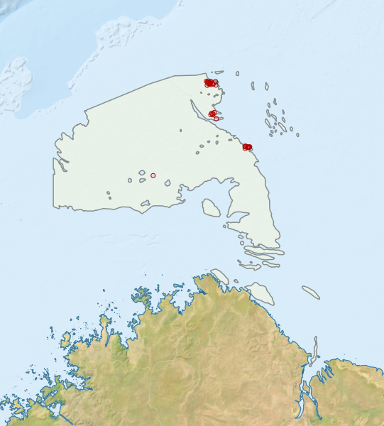
Region extents: 125° 00.0' E 14° 52.5' S to 128° 19.9' E 11° 16.6' S
Acknowledgements: Background map - Bright Earth e-Atlas Basemap v1.0 (AIMS, GBRMPA, JCU, DSITIA, GA, UCSD, NASA, OSM, ESRI) CC BY