Please login if you have access to particular applications.
Provider: All providers | |
Key Ecological Features | |
| Name: | Wallaby Saddle - view region report showing all data |
| Region: | North-west |
| Area: | 7,881.80 km2 |
| Gear type: | Water quality and chemistry
|
| Layers used: |
CMAR Hydrology
- link to layer metadata |
| Summary: | Records - 8 Deepest: db |
| Last updated: | 18-Mar-2024 04:14. |
| Buffer: | |
Time series plot (1930 to present) - Y axis is deployments per year
Region data
Show data list
| Year | Total inside region |
| 1961 | 1 |
| 1962 | 1 |
| 1963 | 1 |
| 1964 | 1 |
| 1966 | 1 |
| 1967 | 1 |
| 1971 | 1 |
| 1996 | 1 |
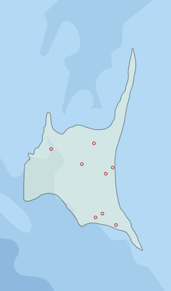
Region extents: 109° 14.0' E 26° 09.4' S to 110° 23.5' E 24° 23.1' S
Acknowledgements: Background map - Bright Earth e-Atlas Basemap v1.0 (AIMS, GBRMPA, JCU, DSITIA, GA, UCSD, NASA, OSM, ESRI) CC BY