Please login if you have access to particular applications.
Provider: All providers | |
Key Ecological Features | |
| Name: | Pinnacles of the Bonaparte Basin - view region report showing all data |
| Region: | North-west |
| Area: | 309.46 km2 |
| Gear type: | seabed towed video and stills
|
| Layers used: |
AIMS NERP5650 Digital Stills
- link to layer metadata |
| Summary: | Records - 2685 Deepest: db |
| Last updated: | 18-Mar-2024 00:09. |
| Buffer: | |
Time series plot (1930 to present) - Y axis is deployments per year
Region data
Show data list
| Year | Total inside region |
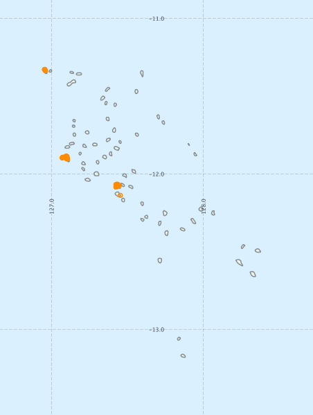
Region extents: 126° 56.8' E 13° 10.8' S to 128° 22.7' E 11° 19.6' S
Acknowledgements: Background map - Bright Earth e-Atlas Basemap v1.0 (AIMS, GBRMPA, JCU, DSITIA, GA, UCSD, NASA, OSM, ESRI) CC BY