Provider: All providers | |
Key Ecological Features | |
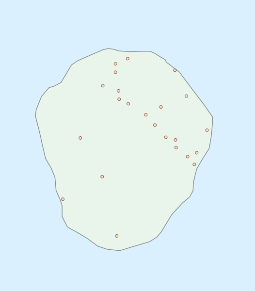
| Name: | Glomar Shoals - view region report showing all data |
| Region: | North-west |
| Area: | 767.84 km2 |
| Gear type: | sediment grab and core samples
|
| Layers used: | Seabed sediments sampling |
| Summary: | Records - 23 Deepest: db |
| Last updated: | 27-Apr-2024 19:54. |
| Buffer: | |
Time series plot (1930 to present) - Y axis is deployments per year
Region data
Show data list
| Year | Total inside region |
| 1968 | 2 |
| 2013 | 14 |
Region extents: 116° 34.1' E 19° 47.4' S to 116° 51.6' E 19° 28.6' S
Acknowledgements: Background map - Bright Earth e-Atlas Basemap v1.0 (AIMS, GBRMPA, JCU, DSITIA, GA, UCSD, NASA, OSM, ESRI) CC BY