Please login if you have access to particular applications.
Provider: All providers | |
Key Ecological Features | |
| Name: | Elizabeth and Middleton reefs - view region report showing all data |
| Region: | Temperate east |
| Area: | 163.37 km2 |
| Gear type: | ocean based acoustic current meter
|
| Layers used: |
CSIRO NCMI Acoustic Doppler Current Profiler data
- link to layer metadata NOAA drifting buoys (map) |
| Summary: | Records - 93 Deepest: db |
| Last updated: | 18-Mar-2024 03:56. |
| Buffer: | |
Time series plot (1930 to present) - Y axis is ensembles per day per year
Region data
Show data list
| Year | Total inside region |
| 1998 | 33 |
| 2006 | 8 |
| 2010 | 4 |
| 2013 | 52 |
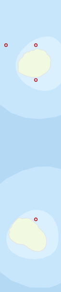
Region extents: 159° 00.5' E 29° 59.5' S to 159° 09.0' E 29° 24.6' S
Acknowledgements: Background map - Bright Earth e-Atlas Basemap v1.0 (AIMS, GBRMPA, JCU, DSITIA, GA, UCSD, NASA, OSM, ESRI) CC BY