Please login if you have access to particular applications.
Provider: All providers | |
Key Ecological Features | |
| Name: | Cape Mentelle upwelling - view region report showing all data |
| Region: | South-west |
| Area: | 2,576.48 km2 |
| Gear type: | CTD sensor
|
| Layers used: |
CMAR CTD Data Overview (1982 - present)
- link to layer metadata ARGO profile map - link to layer metadata |
| Summary: | Records - 47 Deepest: db |
| Last updated: | 6-May-2024 14:05. |
| Buffer: | |
Time series plot (1930 to present) - Y axis is deployments as vertical profile or tows per year
Region data
Show data list
| Year | Total inside region |
| 1986 | 7 |
| 1987 | 10 |
| 1994 | 3 |
| 1995 | 3 |
| 1996 | 1 |
| 2003 | 5 |
| 2005 | 1 |
| 2006 | 13 |
| 2007 | 2 |
| 2010 | 2 |
| 2014 | 4 |
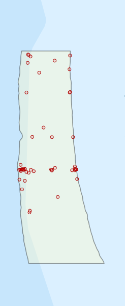
Region extents: 114° 26.5' E 34° 23.0' S to 114° 52.3' E 33° 31.0' S
Acknowledgements: Background map - Bright Earth e-Atlas Basemap v1.0 (AIMS, GBRMPA, JCU, DSITIA, GA, UCSD, NASA, OSM, ESRI) CC BY