Please login if you have access to particular applications.
Provider: All providers | |
Australian Marine Parks | |
| Name: | Lord Howe Multiple Use Zone (IUCN VI) - view region report showing all data |
| Region: | Temperate East |
| Comments: | This reserve was originally proclaimed on 17 November 2012. There are NO CHANGES ON THE WATER until the Temperate East Australian Marine Parks Network Management Plan comes into effect. Australia's network of Australian Marine Parks (revised 2014-03-28) http://www.environment.gov.au/fed/catalog/search/resource/details.page?uuid=%7B2E8DD19C-1B93-4D90-BD1C-128DDC4A2998%7D |
| Area: | 38,446.26 km2 |
| Gear type: | multibeam sonar
|
| Layers used: | MNF singlebeam TOPAS sub-bottom profiler |
| Summary: | Records - 1 Deepest: db |
| Last updated: | 1-May-2024 23:18. |
| Buffer: | |
Time series plot (1930 to present) - Y axis is one hour observation block per year
Region data
Show data list
| Year | Total inside region |
| 2006 | 1 |
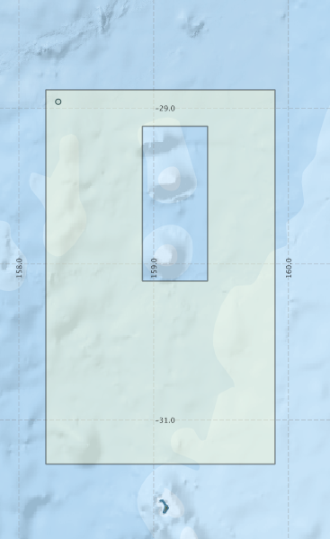
Region extents: 158° 12.0' E 31° 17.0' S to 159° 54.0' E 28° 53.0' S
Acknowledgements: Background map - Bright Earth e-Atlas Basemap v1.0 (AIMS, GBRMPA, JCU, DSITIA, GA, UCSD, NASA, OSM, ESRI) CC BY