Please login if you have access to particular applications.
Provider: All providers | |
Australian Marine Parks | |
| Name: | Lord Howe Marine National Park Zone (IUCN II) - view region report showing all data |
| Region: | Temperate East |
| Comments: | This part of the reserve was formerly known as the Elizabeth and Middleton Reefs Marine National Nature Reserve. Transitional management arrangements apply until the Temperate East CMR Network Management Plan comes into effect. Australia's network of Australian Marine Parks (revised 2014-03-28) http://www.environment.gov.au/fed/catalog/search/resource/details.page?uuid=%7B2E8DD19C-1B93-4D90-BD1C-128DDC4A2998%7D |
| Area: | 1,431.46 km2 |
| Gear type: | ocean based acoustic current meter
|
| Layers used: |
CSIRO NCMI Acoustic Doppler Current Profiler data
- link to layer metadata NOAA drifting buoys (map) |
| Summary: | Records - 822 Deepest: db |
| Last updated: | 27-Apr-2024 18:44. |
| Buffer: | |
Time series plot (1930 to present) - Y axis is ensembles per day per year
Region data
Show data list
| Year | Total inside region |
| 1995 | 1 |
| 1998 | 111 |
| 2006 | 625 |
| 2008 | 1 |
| 2009 | 1 |
| 2010 | 8 |
| 2013 | 86 |
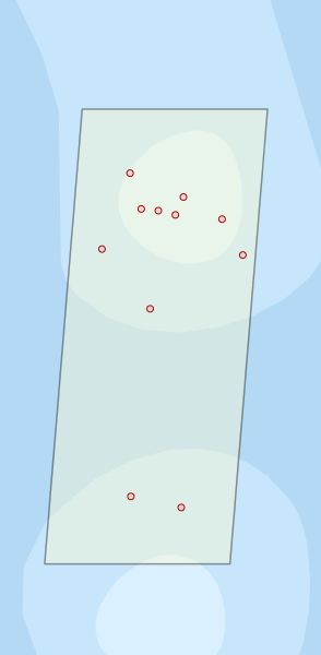
Region extents: 158° 56.0' E 29° 53.0' S to 159° 14.0' E 29° 21.0' S
Acknowledgements: Background map - Bright Earth e-Atlas Basemap v1.0 (AIMS, GBRMPA, JCU, DSITIA, GA, UCSD, NASA, OSM, ESRI) CC BY