Please login if you have access to particular applications.
Provider: All providers | |
Australian Marine Parks | |
| Name: | Solitary Islands Special Purpose Zone (IUCN VI) - view region report showing all data |
| Region: | Temperate East |
| Comments: | This reserve has been renamed and incorporated into the Temperate East Australian Marine Parks Network. Transitional management arrangements apply until the Temperate East CMR Network Management Plan comes into effect. Australia's network of Australian Marine Parks (revised 2014-03-28) http://www.environment.gov.au/fed/catalog/search/resource/details.page?uuid=%7B2E8DD19C-1B93-4D90-BD1C-128DDC4A2998%7D |
| Area: | 54.41 km2 |
| Gear type: | Water quality and chemistry
|
| Layers used: |
CMAR Hydrology - link to layer metadata |
| Summary: | Records - 1 Deepest: db |
| Last updated: | 8-Apr-2026 13:10. |
| Buffer: | |
Time series plot (1930 to present) - Y axis is deployments per year
Region data
Show data list
| Year | Total inside region |
| 1983 | 1 |
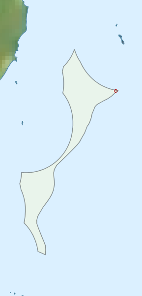
Region extents: 153° 15.8' E 30° 09.5' S to 153° 23.2' E 29° 56.3' S
Acknowledgements: Background map - Bright Earth e-Atlas Basemap v1.0 (AIMS, GBRMPA, JCU, DSITIA, GA, UCSD, NASA, OSM, ESRI) CC BY