Please login if you have access to particular applications.
Provider: All providers | |
Great Barrier Reef Marine Park | |
| Name: | MPZ30 - Cairns / Cooktown - view region report showing all data |
| Region: | |
| Area: | not set |
| Gear type: | Water quality and chemistry
|
| Layers used: |
MMP Locations Depth Weighted Avg CMAR Hydrology - link to layer metadata SRS Bio Optical DataBase - link to layer metadata |
| Summary: | Records - 801 Deepest: db |
| Last updated: | 17-Sep-2025 18:03. |
| Buffer: | |
Time series plot (1930 to present) - Y axis is deployments per year
Region data
Show data list
| Year | Total inside region |
| 1928 | 10 |
| 1929 | 6 |
| 1966 | 1 |
| 1968 | 1 |
| 1972 | 7 |
| 1974 | 1 |
| 1975 | 1 |
| 1977 | 3 |
| 1978 | 3 |
| 1979 | 2 |
| 1980 | 28 |
| 1981 | 20 |
| 1982 | 10 |
| 1983 | 3 |
| 1985 | 3 |
| 1985 | 4 |
| 1986 | 14 |
| 1987 | 8 |
| 1988 | 2 |
| 1989 | 42 |
| 1990 | 4 |
| 1990 | 46 |
| 1991 | 4 |
| 1991 | 38 |
| 1992 | 33 |
| 1993 | 95 |
| 1994 | 88 |
| 1995 | 3 |
| 1995 | 75 |
| 1996 | 51 |
| 1997 | 4 |
| 1997 | 63 |
| 1998 | 25 |
| 1999 | 19 |
| 2004 | 2 |
| 2004 | 5 |
| 2005 | 1 |
| 2005 | 17 |
| 2006 | 23 |
| 2007 | 1 |
| 2007 | 23 |
| 2008 | 18 |
| 2008 | 63 |
| 2009 | 17 |
| 2010 | 12 |
| 2011 | 15 |
| 2012 | 2 |
| 2012 | 14 |
| 2013 | 2 |
| 2013 | 10 |
| 2014 | 15 |
| 2015 | 13 |
| 2016 | 1 |
| 2076 | 2 |
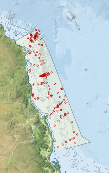
Region extents: 144° 56.5' E 17° 52.9' S to 147° 17.0' E 14° 18.3' S
Acknowledgements: Background map - Bright Earth e-Atlas Basemap v1.0 (AIMS, GBRMPA, JCU, DSITIA, GA, UCSD, NASA, OSM, ESRI) CC BY