Please login if you have access to particular applications.
Provider: All providers | |
Key Ecological Features | |
| Name: | Norfolk Ridge - view region report showing all data |
| Region: | Temperate east |
| Area: | 69,709.29 km2 |
| Gear type: | sediment grab and core samples
|
| Layers used: | CSIRO Sediment Sampling |
| Summary: | Records - 11 Deepest: db |
| Last updated: | 21-Nov-2025 23:35. |
| Buffer: | |
Time series plot (1930 to present) - Y axis is deployments per year
Region data
Show data list
| Year | Total inside region |
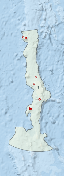
Region extents: 166° 08.8' E 32° 28.7' S to 168° 51.7' E 25° 57.5' S
Acknowledgements: Background map - Bright Earth e-Atlas Basemap v1.0 (AIMS, GBRMPA, JCU, DSITIA, GA, UCSD, NASA, OSM, ESRI) CC BY