Please login if you have access to particular applications.
Provider: All providers | |
Key Ecological Features | |
| Name: | Reefs, cays and herbivorous fish of the Queensland Plateau - view region report showing all data |
| Region: | Coral Sea |
| Area: | 16,584.99 km2 |
| Gear type: | ocean based acoustic current meter
|
| Layers used: |
NOAA drifting buoys (map) CSIRO NCMI Acoustic Doppler Current Profiler data - link to layer metadata |
| Summary: | Records - 290 Deepest: db |
| Last updated: | 21-Nov-2025 11:13. |
| Buffer: | |
Time series plot (1930 to present) - Y axis is ensembles per day per year
Region data
Show data list
| Year | Total inside region |
| 1991 | 2 |
| 1991 | 4 |
| 1992 | 5 |
| 1994 | 2 |
| 1996 | 35 |
| 1997 | 145 |
| 1999 | 20 |
| 2000 | 4 |
| 2001 | 1 |
| 2003 | 10 |
| 2005 | 10 |
| 2006 | 10 |
| 2007 | 22 |
| 2008 | 2 |
| 2008 | 27 |
| 2010 | 20 |
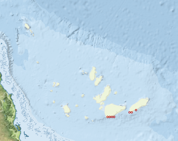
Region extents: 146° 30.9' E 18° 05.9' S to 152° 09.6' E 13° 47.4' S
Acknowledgements: Background map - Bright Earth e-Atlas Basemap v1.0 (AIMS, GBRMPA, JCU, DSITIA, GA, UCSD, NASA, OSM, ESRI) CC BY