Please login if you have access to particular applications.
Provider: All providers | |
Key Ecological Features | |
| Name: | Diamantina Fracture Zone - view region report showing all data |
| Region: | South-west |
| Area: | 105,121.89 km2 |
| Gear type: | ocean based acoustic current meter
|
| Layers used: |
NOAA drifting buoys (map) CSIRO NCMI Acoustic Doppler Current Profiler data - link to layer metadata |
| Summary: | Records - 1639 Deepest: db |
| Last updated: | 4-Dec-2025 03:12. |
| Buffer: | |
Time series plot (1930 to present) - Y axis is ensembles per day per year
Region data
Show data list
| Year | Total inside region |
| 1994 | 16 |
| 1994 | 117 |
| 1995 | 82 |
| 1996 | 64 |
| 1997 | 85 |
| 1998 | 138 |
| 1999 | 61 |
| 2001 | 16 |
| 2002 | 64 |
| 2003 | 103 |
| 2004 | 97 |
| 2005 | 44 |
| 2006 | 188 |
| 2007 | 168 |
| 2008 | 133 |
| 2009 | 114 |
| 2010 | 79 |
| 2011 | 142 |
| 2012 | 45 |
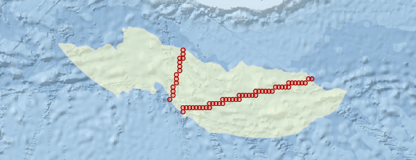
Region extents: 111° 42.5' E 38° 31.8' S to 120° 27.2' E 35° 50.0' S
Acknowledgements: Background map - Bright Earth e-Atlas Basemap v1.0 (AIMS, GBRMPA, JCU, DSITIA, GA, UCSD, NASA, OSM, ESRI) CC BY