Please login if you have access to particular applications.
Provider: All providers | |
Key Ecological Features | |
| Name: | Ashmore Reef and Cartier Island and surrounding Commonwealth waters - view region report showing all data |
| Region: | North-west |
| Area: | 2,259.42 km2 |
| Gear type: | multibeam sonar
|
| Layers used: | MNF singlebeam TOPAS sub-bottom profiler |
| Summary: | Records - 9 Deepest: db |
| Last updated: | 16-May-2026 08:51. |
| Buffer: | |
Time series plot (1930 to present) - Y axis is one hour observation block per year
Region data
Show data list
| Year | Total inside region |
| 2007 | 9 |
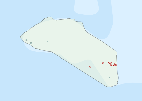
Region extents: 122° 53.1' E 12° 35.9' S to 123° 37.4' E 12° 05.0' S
Acknowledgements: Background map - Bright Earth e-Atlas Basemap v1.0 (AIMS, GBRMPA, JCU, DSITIA, GA, UCSD, NASA, OSM, ESRI) CC BY