Please login if you have access to particular applications.
Provider: All providers | |
Australian Marine Parks | |
| Name: | Macquarie Island Habitat Protection Zone (IUCN IV) - view region report showing all data |
| Region: | South-east |
| Comments: | The South-east Network of Australian Marine Parks is managed under the South-east Australian Marine Parks Network Management Plan 2013-23, in place from 1 July 2013. Australia's network of Australian Marine Parks (revised 2014-03-28) http://www.environment.gov.au/fed/catalog/search/resource/details.page?uuid=%7B2E8DD19C-1B93-4D90-BD1C-128DDC4A2998%7D |
| Area: | 76,725.03 km2 |
| Gear type: | CTD sensor
|
| Layers used: |
aatams sattag dm location map - link to layer metadata ARGO profile map - link to layer metadata aatams sattag dm profile map - link to layer metadata aatams sattag dm dive profile map - link to layer metadata |
| Summary: | Records - 276 Deepest: db |
| Last updated: | 7-May-2026 06:01. |
| Buffer: | |
Time series plot (1930 to present) - Y axis is deployments as vertical profile or tows per year
Region data
Show data list
| Year | Total inside region |
| 2003 | 12 |
| 2005 | 10 |
| 2006 | 12 |
| 2007 | 8 |
| 2008 | 14 |
| 2009 | 5 |
| 2010 | 23 |
| 2011 | 43 |
| 2012 | 54 |
| 2013 | 56 |
| 2014 | 33 |
| 2015 | 6 |
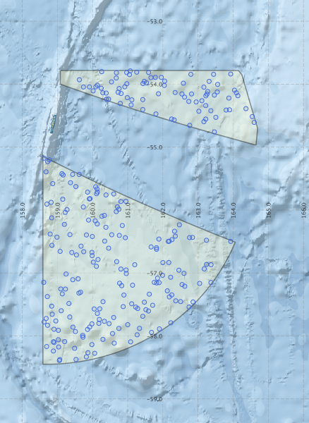
Region extents: 158° 35.3' E 58° 27.0' S to 164° 41.5' E 53° 47.0' S
Acknowledgements: Background map - Bright Earth e-Atlas Basemap v1.0 (AIMS, GBRMPA, JCU, DSITIA, GA, UCSD, NASA, OSM, ESRI) CC BY