Survey details and related metadata, reports, events and data.
BF2017_V01
Title: Assessment of seabed features and processes of the Gippsland coast and evaluation of marine monitoring methodologies for subsea CCS
Period: 2017-12-04 00:00 to 2017-12-20 00:00 Local
Duration: 16.00 days
From: Beauty Point To: Beauty Point
Region: Bass Strait
Ship: Bluefin [details]
Description:
Leader: Tim Ryan (CSIRO)
Project: none linked to this survey.
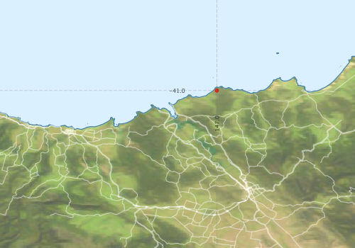
Map extents: 50° 00.0' S to 0° 00.0' N 95° 00.0' E to 180° 00.0' E
Metadata - No Marlin metadata records found or has not been linked to this survey or potentially the metadata catalogue is offline.
Participants:- no records
Marine National Facility Reports - plans, summaries and data processing
- There is no map for this survey.
Search for publications, reports and datasets from this and other voyages
Data publishing - No datasets have been published
Deployments - None have been recorded in the Data Trawler.